 L. Lu, C. Redondo, and P. Campoy. “Optimal
frontier-based autonomous exploration in uncon-
structed environment using RGB-D sensor”. In: Sen-
sors 20.22 (Nov. 2020), p. 6507. url: https://www.
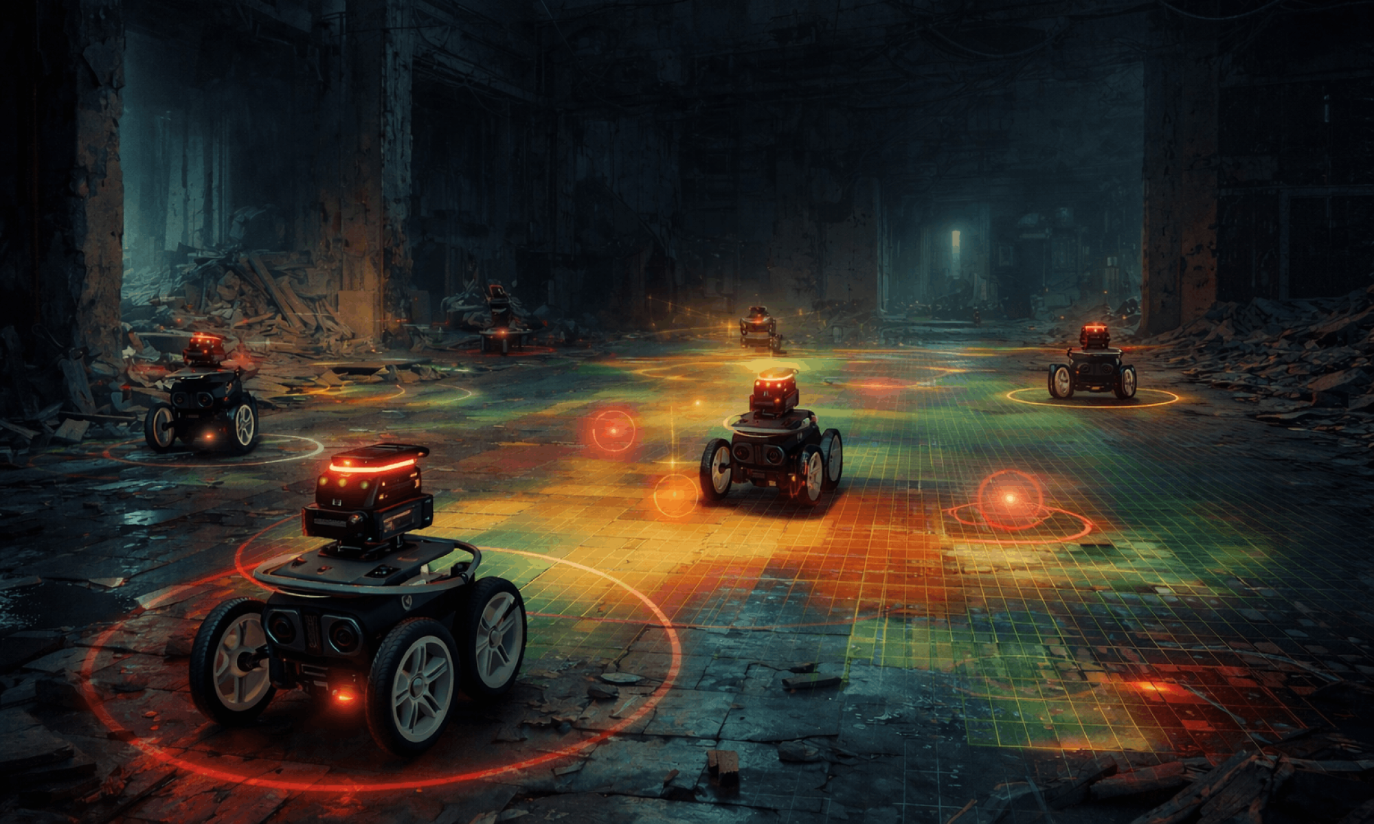
mdpi.com/1424-8220/20/22/6507.To support safe navigation during exploration, I finalized the design of the local obstacle avoidance system using the Vector Field Histogram (VFH) algorithm. While the frontier algorithm determines where robots should move globally, the VFH controller will handle real-time navigation decisions by utilizing LiDAR data. Obstacle measurements are converted into a polar histogram representing nearby obstacle density, which allows the robot to choose safe steering directions while still progressing toward its assigned frontier target. This layered approach enables robots to react to obstacles dynamically without needing to constantly recompute global paths.
Progress remains on schedule, and the next steps will involve implementing the 2D simulation test suite and integrating the autonomous exploration algorithm within the simulation environment. This phase will focus on validating the algorithm’s performance under various conditions to make sure the robot behaviors, such as frontier detection, obstacle avoidance, and coordinated exploration, operate as expected.
Part A: … with consideration of global factors. Global factors are world-wide contexts and factors, rather than only local ones. They do not necessarily represent geographic concerns. Global factors do not need to concern every single person in the entire world. Rather, these factors affect people outside of Pittsburgh, or those who are not in an academic environment, or those who are not technologically savvy, etc.
Our CatomBots system addresses global factors by prioritizing accessibility and affordability in disaster response technology. Search and rescue operations occur worldwide, often in regions where expensive robotic solutions are financially out of reach. By keeping the cost per bot under $200 using accessible, commercial off-the-shelf components, our design ensures that emergency response teams globally can deploy a scalable swarm to rapidly map hazardous environments and locate survivors. Furthermore, our intuitive, web-based UI is specifically designed to be easily operable by first responders who are not necessarily technologically savvy or from an academic background.