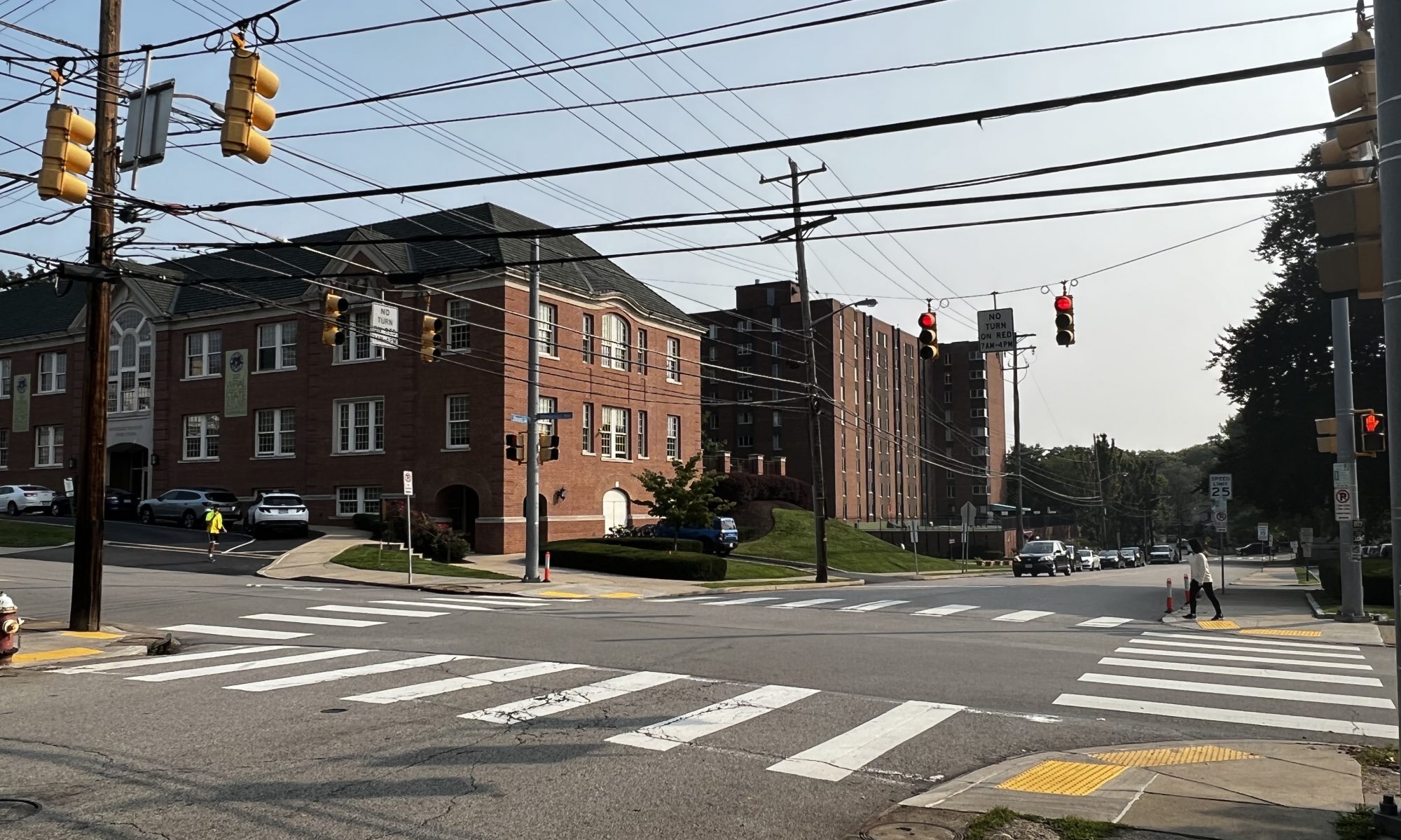
This week I finished implementing an initial iteration of initial routing and caching. I implemented my cache using a list of lists, where the inner lists describe information about actions, which are verbal feedback from the HERE API, and coordinates of the next waypoint. I was also successfully avoid certain intersections using the API provided by here. The HERE API avoids areas by makign the user draw bounding boxes on the areas they want to avoid. For now, I’m drawing a 20m square around the intersection that needs to be avoided (I had to use lat/lng to meters conversion formula . I think this may cause issues like avoidin the entire street instead of just the intersection, but I will continue to look at that over the next few weeks.
HERE also has a map widget Jupyter Notebook that lets users visualize the routes they are drawing. Unfortunately even after spending several hours on it only a gray screen would pop up when I try to show the widget. I think this is a good testing tool so I will keep working on it and hopefully be able to display the widget.
Next week I want to create a communication protocol with Colin’s frontend code (integration), finish setting up the HERE map widget on Jupyter, and start implementing request processing from the frontend.
