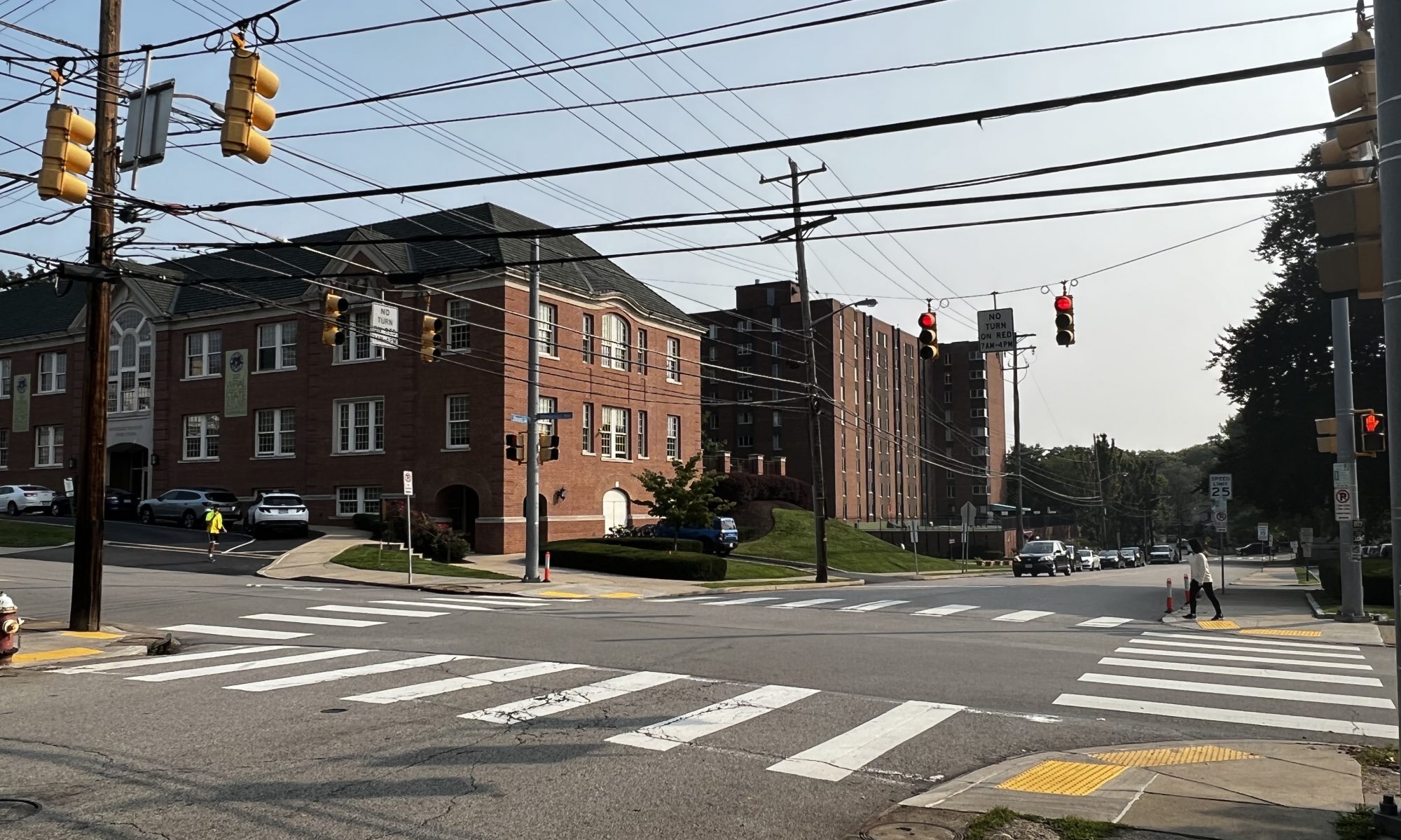
Due to Eshita dropping the course, Colin and I have decided to quickly pivot on our project after meeting with Prof. Mukherjee yesterday. As our team status report indicates, we’ve pivoted towards a route planning project, which helps visually impaired people navigate from point A to point B, while helping them avoid “unfriendly” crosswalks.
Because Eshita only told us she was dropping yesterday, I’ve only had time today to do research on our new project. Since alot of the focus of this project will be on route planning and identification of crosswalks, I searched through potential APIs that could be useful for this. In particular, I spent alot of time going through the Google Maps API, and looking through its capabilities.
In addition, the identification of street intersections/crosswalks is my biggest concern right now. As far as I know, the Google Maps API does not have the capability to give information on things like “the nearest intersection from point X”, or if a coordinate is an intersection or not. A potential solution I’ve found so far is the overpass API, which can given information on the location of an intersection, given two street names as input.
Due to this unforseen circumstance, I am currently behind schedule. However, Colin and I are prepared to work hard in the upcoming weeks to get back on track. For next week, I want to read more into the Google Maps and Overhead APIs, and start interacting with them, and also talk more with Colin so we can flesh out the details of the design.
