WORK ACCOMPLISHED:
These past two weeks I was primarily focused on integrating all of our systems together. This meant working through different options of how to have all of our programs simultaneously running on the Raspberry Pi, and how information would be shared across each of the scripts. In order to accomplish this I created a main thread script that would start three individual threads for all of our programs to run. Then I added a shared global variable which would be used for continuous updating of the current GPS longitude and latitude. This longitude and latitude would then be used by our navigation script in order to properly give users updated navigation guidance. Through this we were able to see all three of our scripts working properly together, with multiple forms of information being shared.
In addition to working on the integration, I helped reconfigure the wiring for the wristband piece, making it cleaner and connected it with the RPi. Initially we were having issues with the bluetooth connectivity, as we were trying to connect two hc-05 devices together. But I was able to find a way to pair the hc-05 with the raspberry pi via bluetooth, and have data shared between the two devices. This connection can sometimes be broken when the RPi is turned off, so I created a script that automatically runs on the RPi’s startup to ensure they are always connected in range. I also decided to replace the arduino device for the wristband with the Blues Swan, which also has arduino pairing capabilities. The reason for this change was due to the Swan including a PMIC accessible via a JST PH connector, this allows us to power the board with a LiPo battery but also recharge the battery if need be, through the USB port. I then configured the script to receive triggers for when to vibrate from our detection device.


TESTING:
In order to meet use case requirements such as users receiving audio instructions within 200 feet of a turn, the GPS system needs to accurately measure where the user is. In order to test this, we’ve done a couple of bike trips to Phipps Conservatory and captured the longitude, latitude, and distance from turn for each of these trips to ensure the user is at the right location. Another test that has been done is putting the GPS sensor in a box, and reading GPS data while outside, to ensure that when the actual encasing is finished, we are not blocking GPS signals. Testing has been going well for this as well, but for the future we plan on testing with different locations to ensure that the GPS signal is well received in a variety of areas.

PROGRESS:
I am currently making good progress, as I’m currently testing my own subsystem and also integrating my parts with the other group members.
NEXT WEEK’S DELIVERABLES:
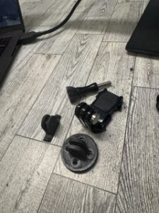
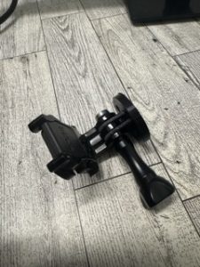
For next week, I’m planning on 3D printing the encasing for the Rid3 device, ensuring that it fits all our parts. I also plan on helping connect our bluetooth headset with the overall system to ensure it’s connected properly.