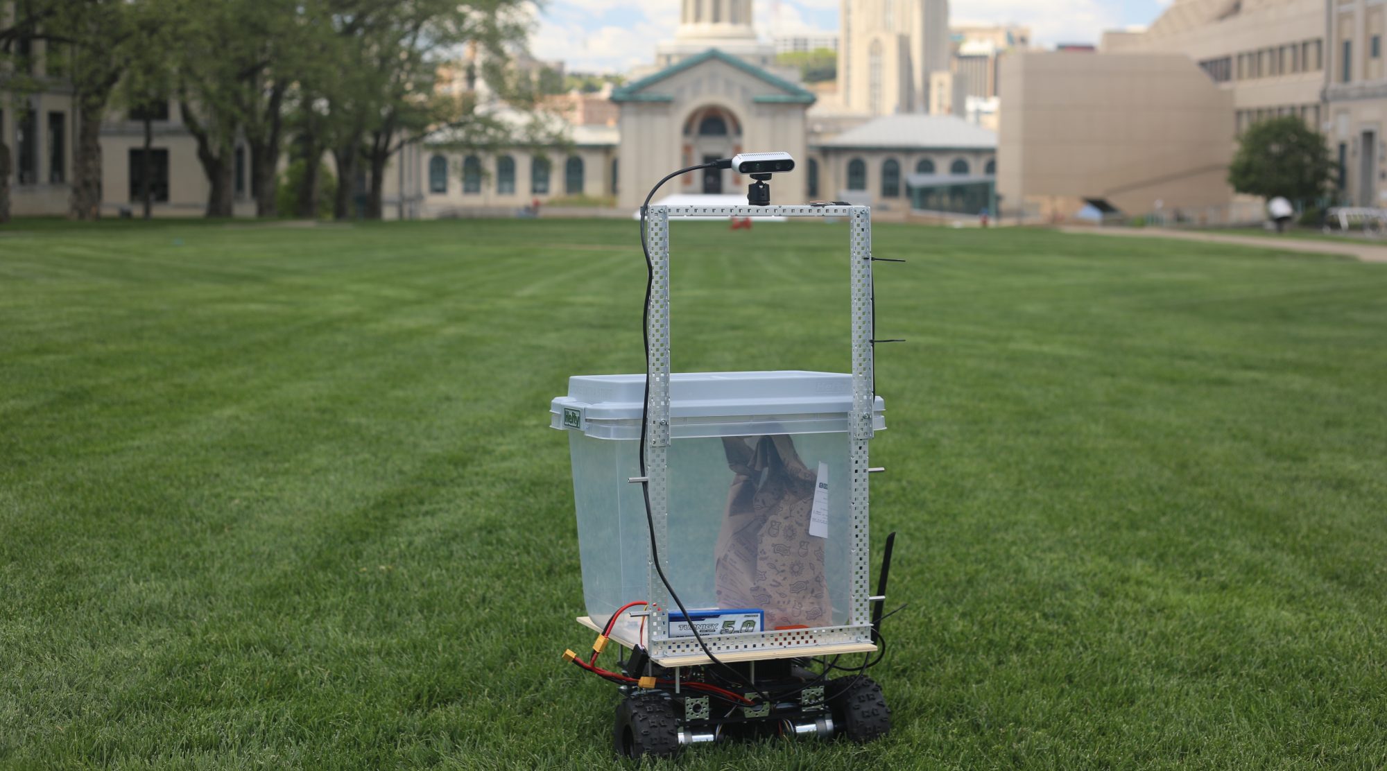
- Accomplishments for the week:
- Over the past week, I worked with the team to fix the robot localization integration with GPS, IMU, and wheel odometry. Much of this involved field testing and recording rosbags of sensor data and scouring the ROS forums for clues as to why the global odometry and local odometry didn’t line up.
- I generalized the global planner to take in text files of UTM offsets for nodes and edges between the nodes and build a graph based off of those files, and then output the UTM offsets for the waypoints. This allows the local planner to directly get waypoints in the UTM frame.
- I worked with Advaith on pedestrian state estimation
- Progress:
- Currently I am on-track.
- Next week’s deliverables:
- Fix the localization once and for all
- Integrate the global planner with the working system
- Test the robot against our initial metrics

Carnegie Mellon ECE Capstone, Spring 2021 | Michael Li, Sebastian Montiel, Advaith Sethuraman